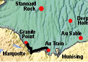
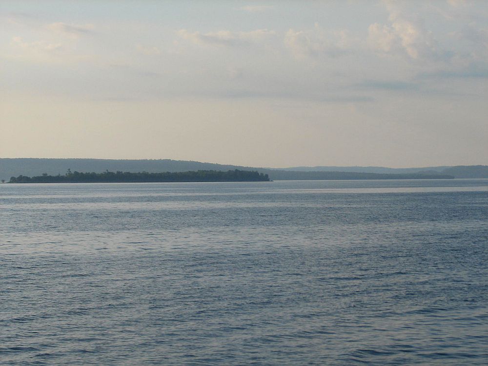
Au Train
|
12
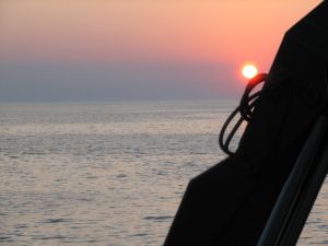
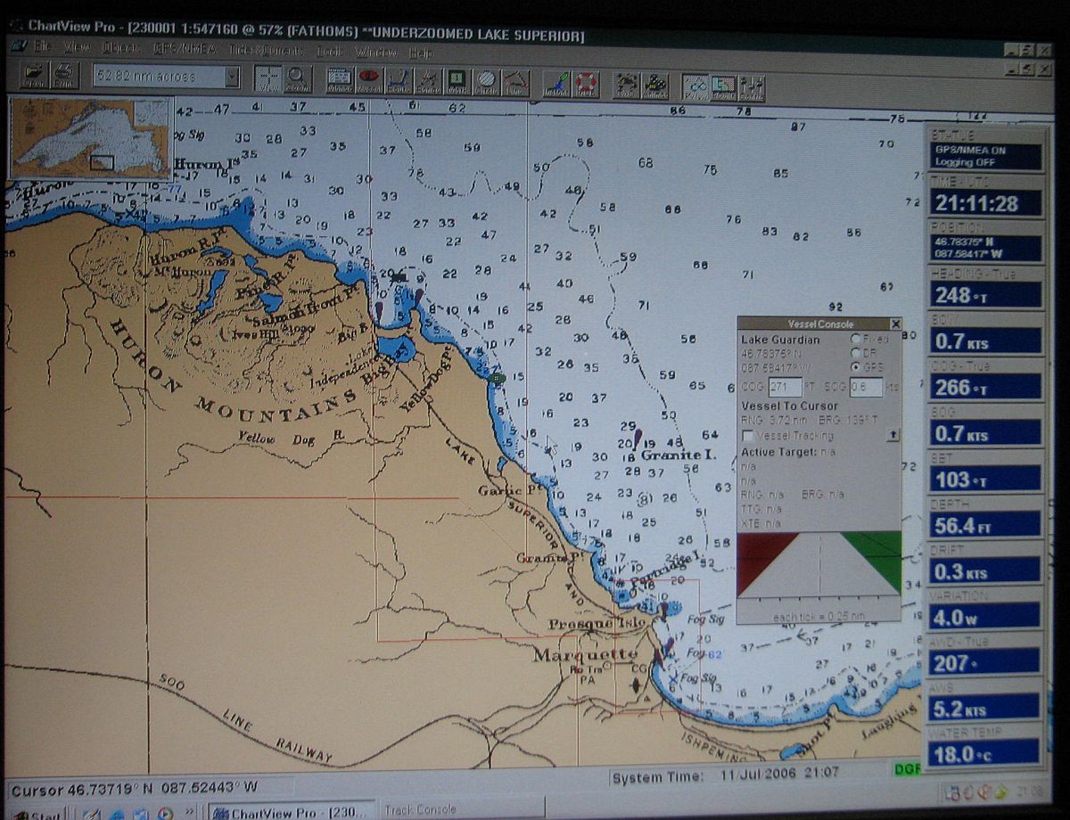
July 0200 hours to 13 July 1000 hours: On Station at
AuTrain Bay - from the cold, rocky shores of Granite
Point, we head to the shallow, sandy, warmer waters
of AuTrain Bay; we expect this to be a productive region,
excellent for observing Diporeia, and a perfect environment
for working with the ROV. We have a great deal of work
to do here in addition to ROV deployment. We will be
doing work with fish and will be towing the benthic
sled. This will be our longest time on station for the
cruise. |
|
|
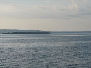
Au Train
Island
|
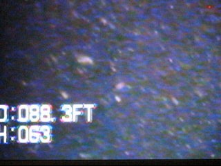
Zooplankton high density at 88 ft
|
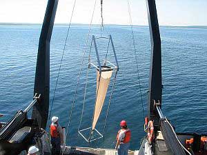
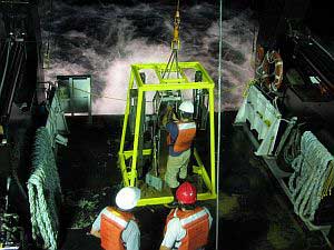
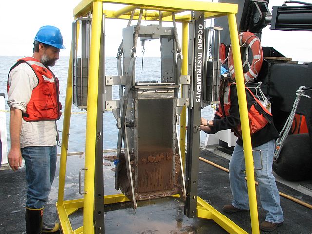
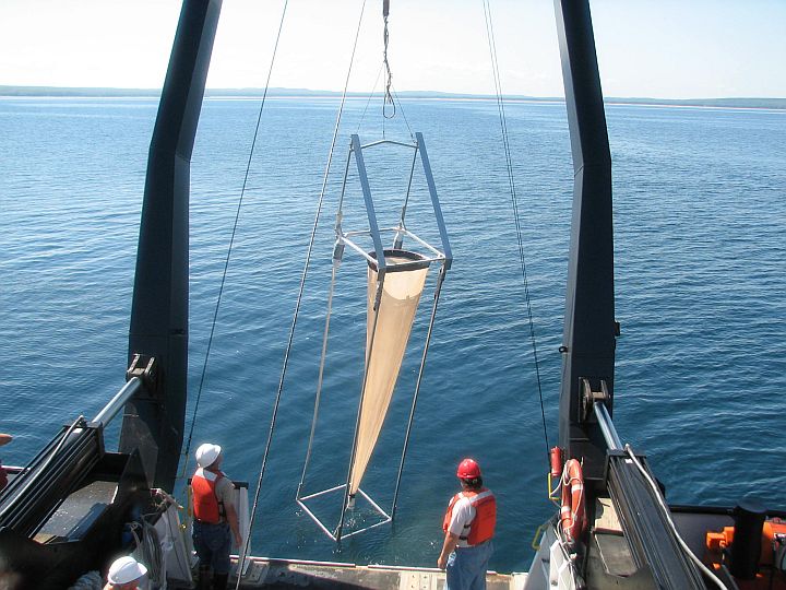
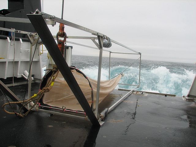
Benthic
sled on fantail
|
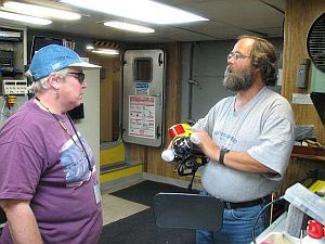
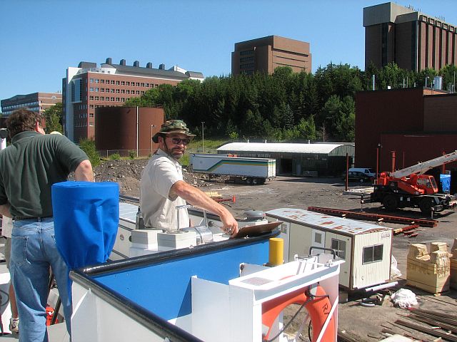
Dr
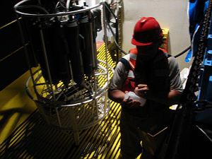
Nancy Auer and Mark Gleason: Video Ray underwater robot camera
|
|
|
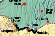
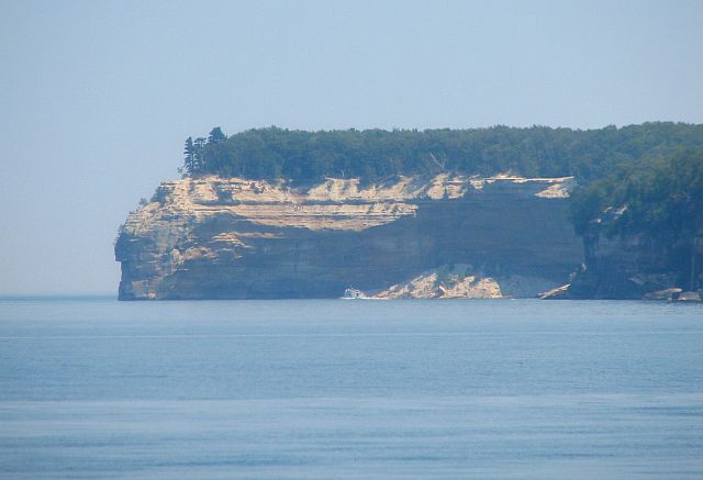
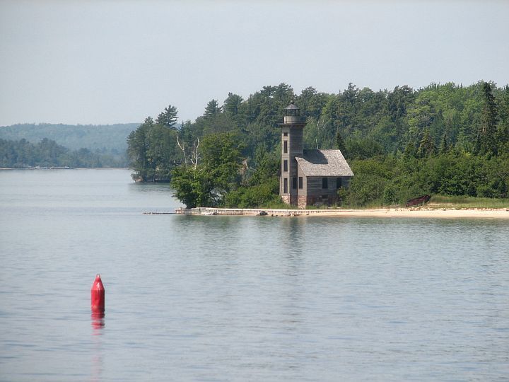
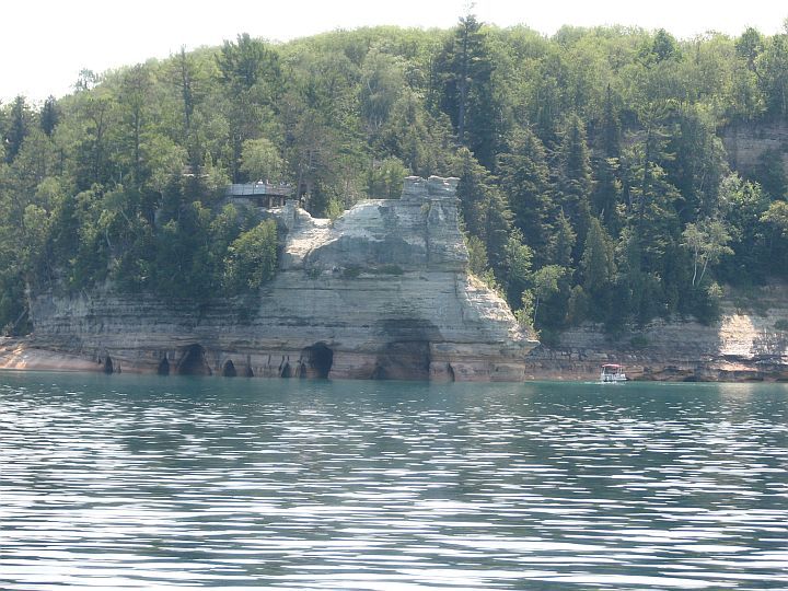
Munising
|
13
July 1000 hours to 13 July 1200 hours: Shore Stop at
Munising - another quick stop to exchange faculty
and scientists; a beautiful ride in around the islands
between AuTrain Bay and Munising; visit with folks walking
the docks and a few family and friends, then we head
out to the east; the Pictured Rocks are fantastic, a
first look for many of us; then down to AuSable Point,
Grand Sable Dunes and on to our next station off Little
Lake Harbor. |
|
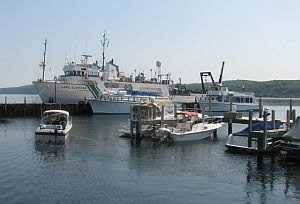
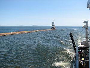
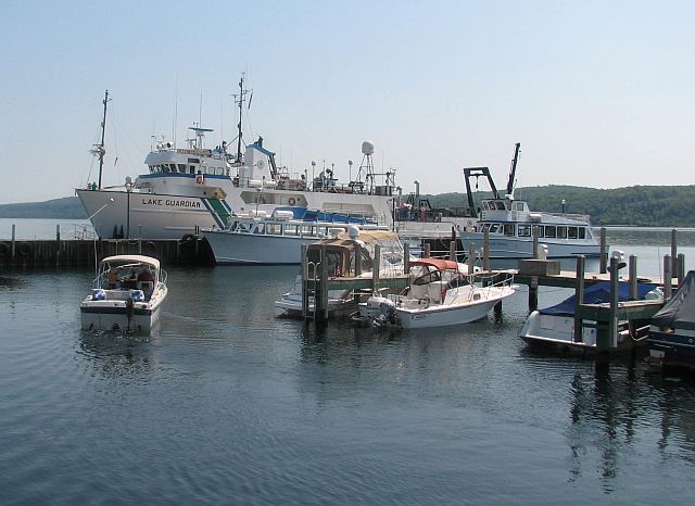
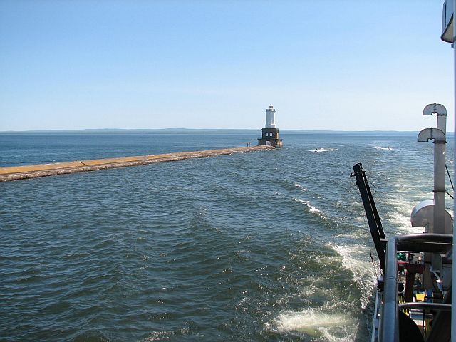
Munising Harbor
|
|
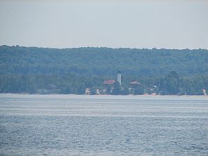
|
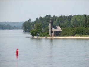
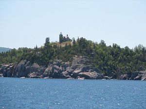
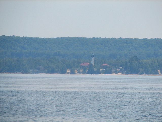
Munising Bay - Pictured
Rocks lighthouse
|
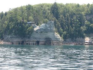
Pictured
Rocks
|
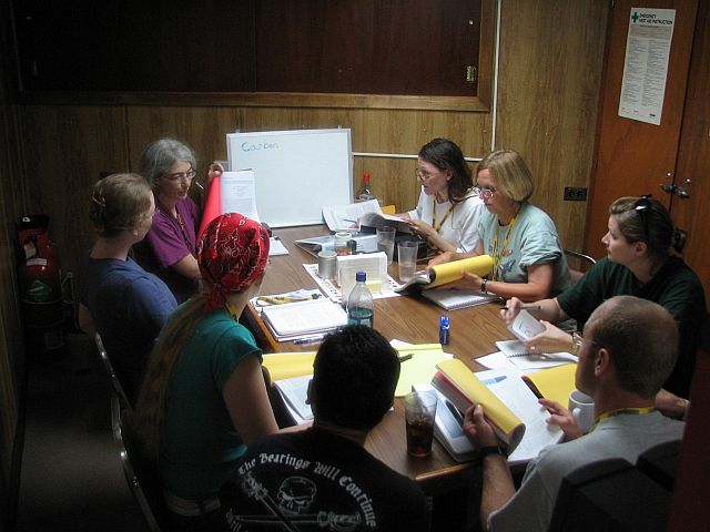
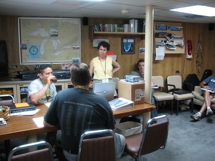
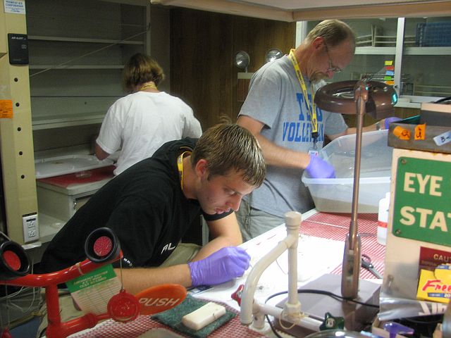
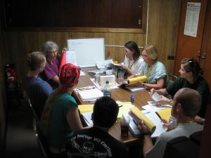 The
ecology course included classroom sessions, shown here with
Dr. Green
|
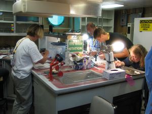
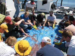
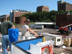
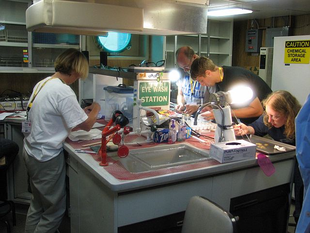
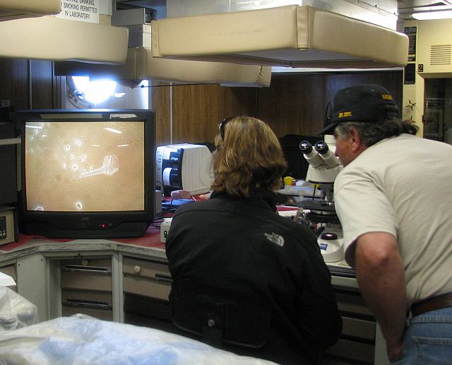
Participants
are busy working in one of the ship's labs, their research
to see that whitefish and lake trout have enough biomass food
to prosper.
|
|
|
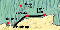
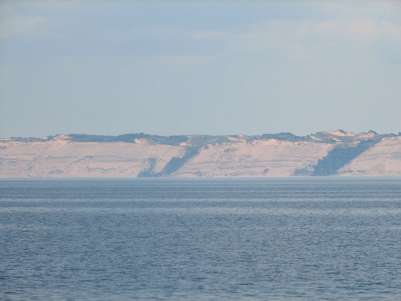
Au Sable
|
Just passing through, but what a wonderful view!
|
|
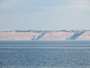
Grand
Sable Dunes
|
Au Sable
Point Lighthouse
|
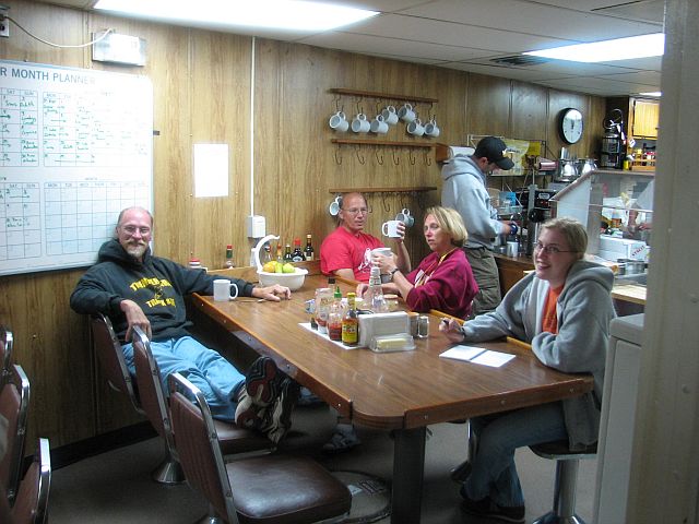
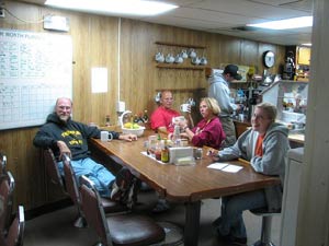 Ship's
Galley
|
Fish Class on Deck
|
|
|
Little Lake Harbor
|
13
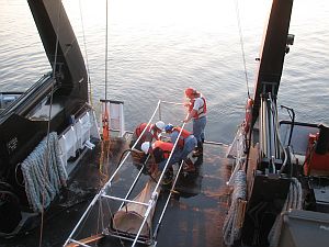
July 1200 hours to 13 July 2330 hours: On Station off
Little Lake Harbor - one of our most beautiful
rides and one of our busiest stations; PONAR transect,
box cores and benthic sled tows; the first sled tow
was nice and clean (no bottom hang-ups), but didn't
catch much; captain thinks it was too far above bottom;
deck hands work to modify the collection height; disaster;
we catch a ton of sand and tear the net in two places;
deck hands do a magnificent job of mending the net and
it is re-adjusted to an intermediate collection height;
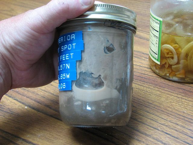
now we're talking; a bountiful collection of Diporeia
and Mysis! |
|
Offshore Little Lake Harbor
|
Offshore from Little Lake Harbor, Lake SuperiorArea Box core at night
|

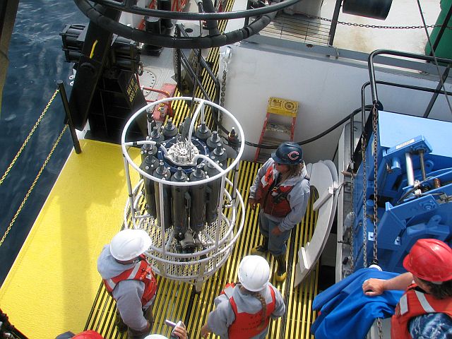
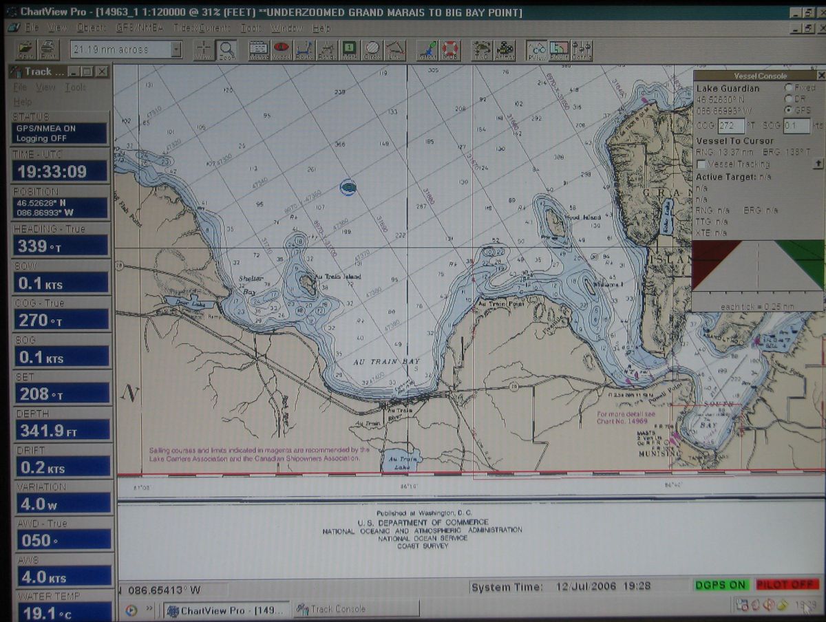
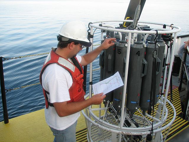
Rosette
collects water samples at various levels for chemical analysis,
data sheet shows the descent and when bottles open to collect
sample at a specific depth
|
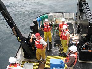
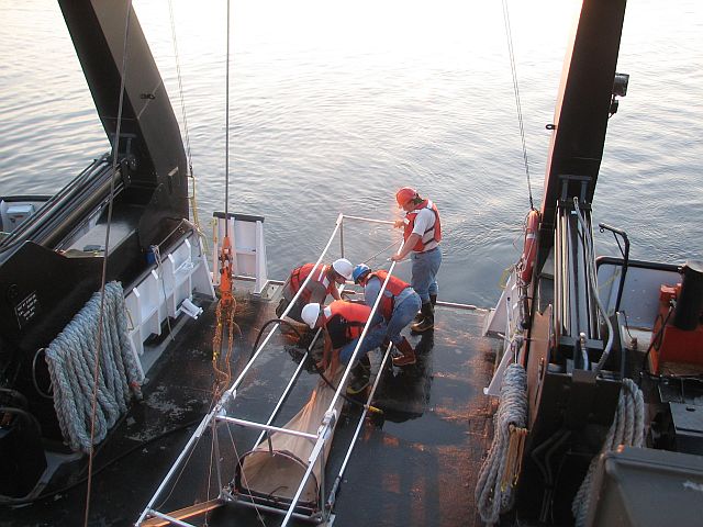
Benthic
Sled offshore from Little Lake Harbor area
|
|
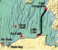
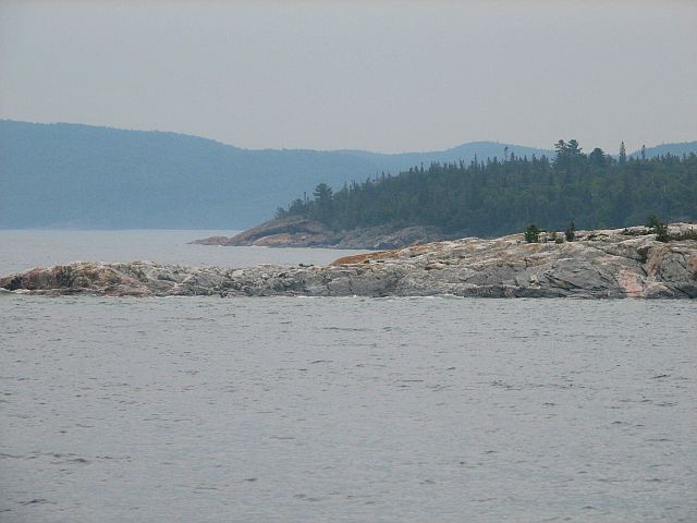
Cape Gargantua
|
13
July 2330 hours to 14 July 2330 hours: On Station off
Cape Gargantua - on the way from the Little Lake
Harbor station, we run three air sampling transects,
each about 2 hours in duration; the winds are favorable
for air sampling and the scientists are pleased; on
station at Cape Gargantua we experience another dramatic
change in the character of the shoreline; we're
back to rocks; beautiful topography; it's so rocky
though that we can't get a PONAR sample at our
first three stations; the dredge just bounces off of
the rock; eventually we're successful in collecting
PONAR samples and it's off to the Deep Hole! |
|
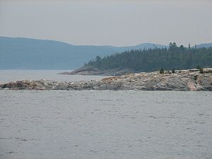
Near Cape
Gargantua
|

Cape Gargantua
Benthic Sled
|
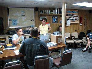
Dr Judith Perlinger class session aborad the researtch ship
|
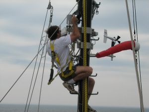
David
Tobias on the ship's mast checking air monitoring equipment
|
|
|
 |
|
|
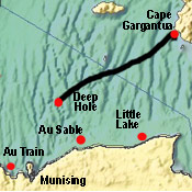
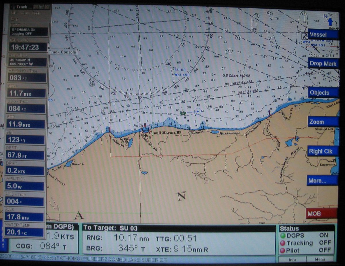
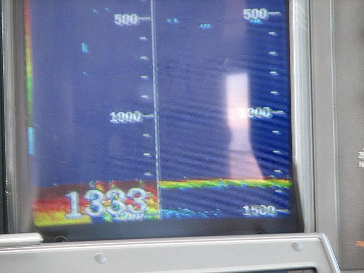
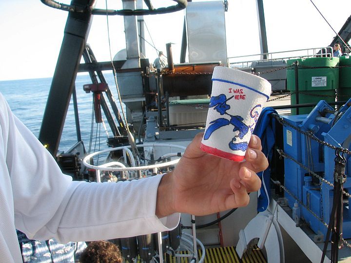
Deep Hole
|
14
July 2330 hours to 15 July 0800 hours: The Deep Hole
- Superior is the largest lake in the world by
surface area, and contains over 13% of the freshwater
presently held in the world's lakes; at over 1300
feet, it is also among the deepest lakes; we're
going to have some fun here, sending a bag of Styrofoam
coffee cups, adorned with original art, down to the
bottom of the ‘deep hole'; pressure does
its work, forcing the air out of the styrofoam and the
cups come back to us much smaller than when they went
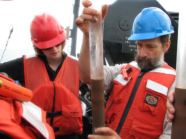
down; we also do a PONAR grab here to see who might
be living in the ‘hole'; great fun and thanks
to the captain for the idea! |
|
|
|
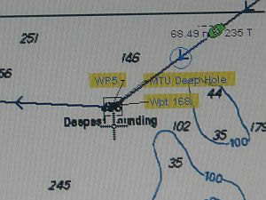
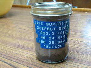
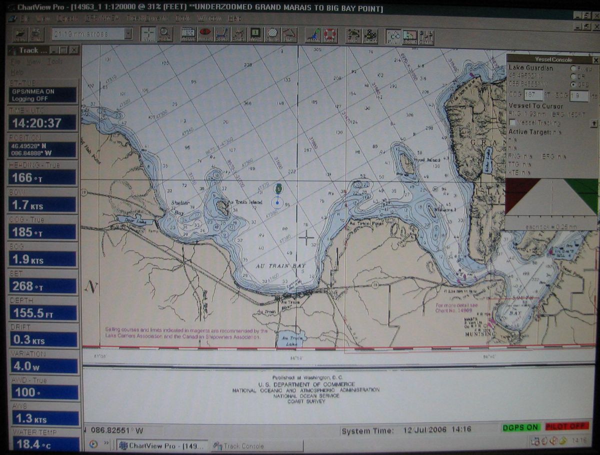
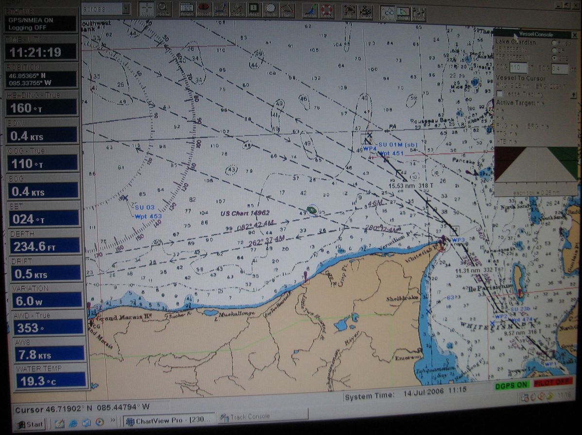
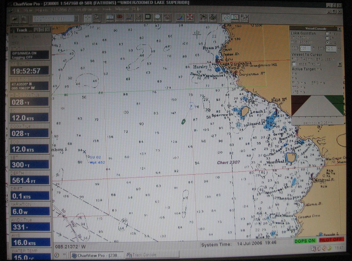
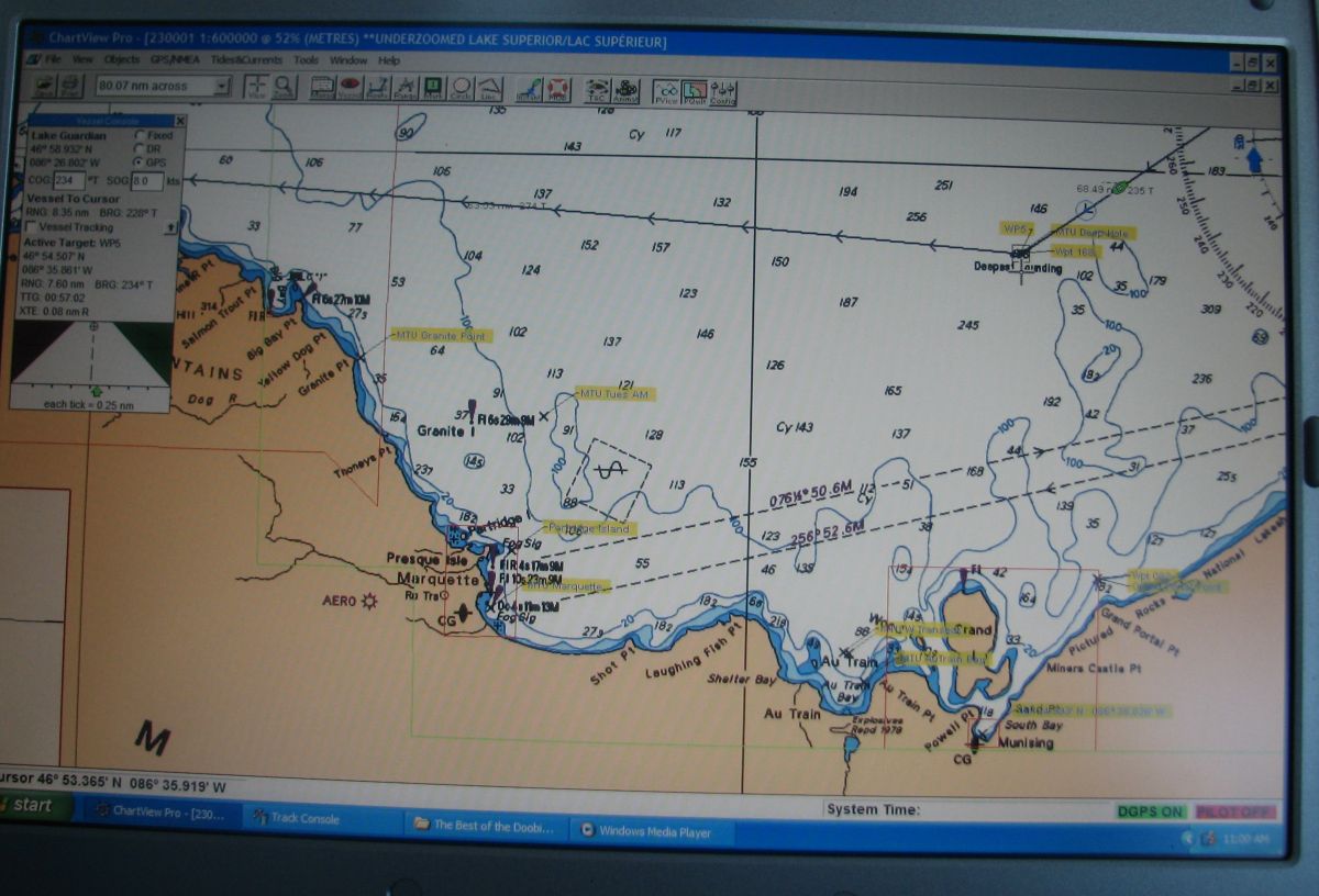
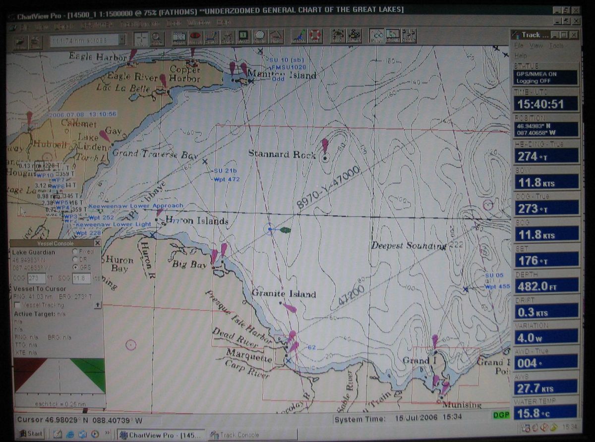
Over
the deepest soundings in Lake Superior, on the chart as 222
fathoms (1320 feet)
Movie shows view on the bridge and view of rosette coming
up from deep hole.
|
|
|
 Over
the deepest sounding in Lake Superior the ponar was used
to scoop up a sample
|
|
In transit
|
15
July 0800 hours to 15 July 1900 hours: Heading Home
- scientists and faculty are wrapping things up
and packing; final exams up on the bow; lots of sightseeing
as we move past the Huron Islands and enter Keweenaw
Bay; home is in sight; it's been an incredible
week, the experience of a lifetime for most of us; we
have collected a great deal of data and look forward
to processing and publishing it back home; unload; pictures;
say goodbye; feel sad to see the Lake Guardian steam
toward Duluth; hey, wait for me. |
|
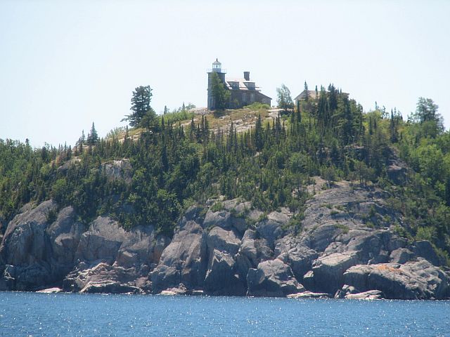
Huron
Island lighthouse
|
Leaving
Lake Superior after a seven day voyage, entering the protecting
channel of South Portage Entry
|
|
The captain
eases the ship towards the Michigan Tech dock
|
Spotlight
On: Shipboard Life - well, we did a lot of work and
we taught hard and listened well; but there were lighter times
as well; and heavier times that had little to do with science;
the food was great, the accommodations comfortable and the
captain and crew as welcoming and helpful as could be imagined;
a journey enriching to the spirit of those dedicated to the
life aquatic! |
|
|
|


